With the final recommendations of the Boundary Commission published in July, we now know on exactly what boundaries the next General Election will be contested.
While a new boundary scheme had been expected ever since the 2010 General Election, the political instability of the United Kingdom during the last 13 years of Conservative Government meant the failure of the last few reviews. A change in the process for this latest review means that by publishing its recommendations they have automatically been adopted as the new scheme.
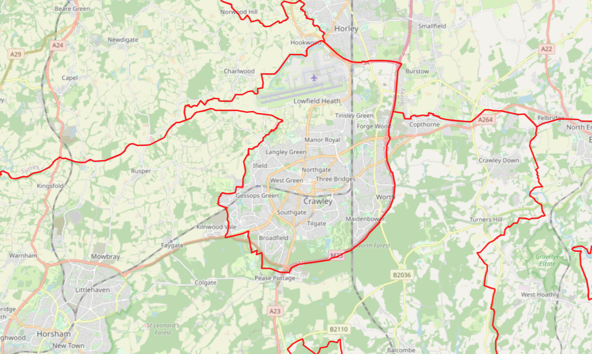
The good news is that a Crawley constituency will be retained, that it will cover the whole of the town and have the same boundaries as that of the local authority. Although, due to the size of the town’s population, the population of adjacent constituencies and the fact that they will only move whole wards from one constituency to another, the maths meant that it was never in doubt that this would be the case.
That’s a big difference from the last two reviews, in which the Tories had pushed hard despite the natural boundary of the M23 to include a large section of rural Mid Sussex–I can’t think why. Meanwhile, once it was clear that the numbers would require an expansion of some form Crawley Labour Party sought to keep the boundaries as close to those of the town as possible, first seeing whether the Kilnwood Vale polling district would be acceptable and then, once the commission made it clear that they would only accept a whole ward, the Rusper and Colgate ward, due to the absence of natural boundaries and a population size half that of what the Conservatives proposed.
Having had the same boundaries since 1997, if this and the next Parliament run the maximum distance, we will have maintained identical boundaries for the town for 33 years, in-line with the longest boundary scheme for the country that I’m aware of (1885-1918).
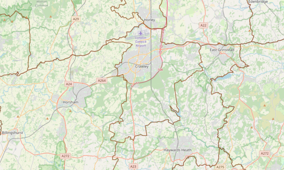
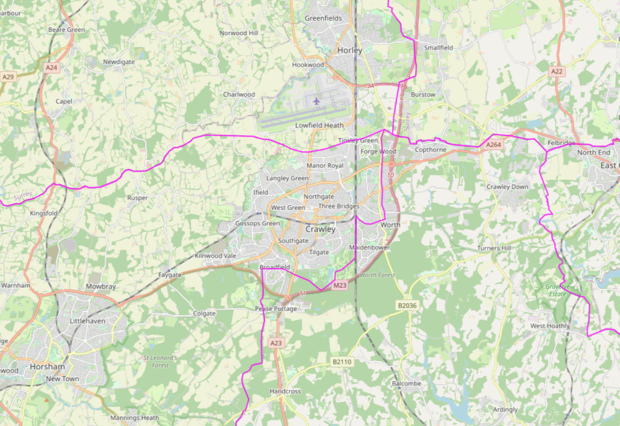
Prior to 1997, the town did indeed contain a large rural section of Mid Sussex. While the Conservatives’ preferred boundary scheme for Crawley through recent reviews has been the inclusion of Copthorne and Worth, the pre-1997 boundary sheme included the equivalent of four wards: Copthorne & Worth, Crawley Down, Handcross & Pease Pottage, and Ardingly, Balcombe & Turners Hill.
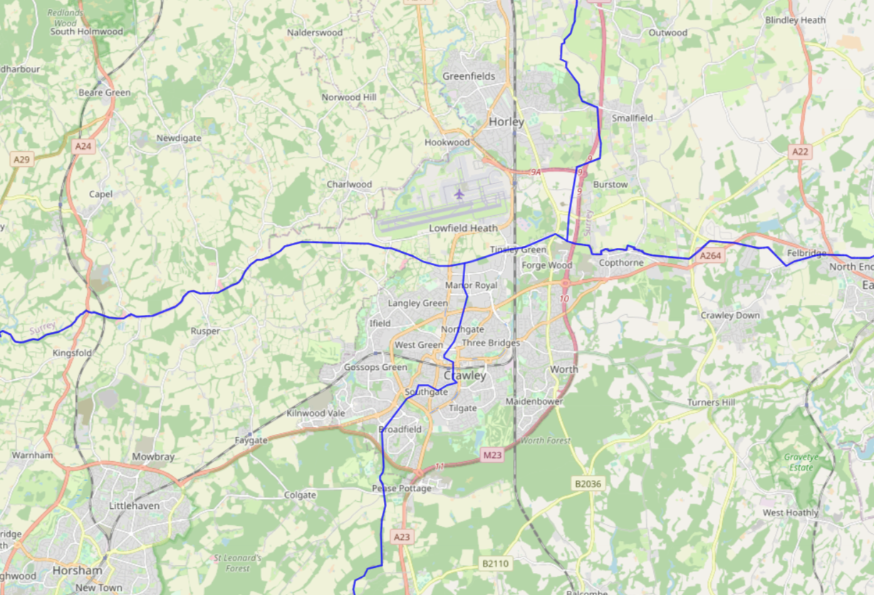
Through two sets of reviews 1955 to 1974 and 1974 to 1983, Crawley maintained the same set of boundaries. 1955 was the first time that the New Town was fully within the same constituency, albeit alongside much of Horsham District of which it formed part at that time (Crawley Urban District wasn’t formed until 1956). Despite the 1972 Local Government Act merging Gatwick into Crawley, this was ingored in the 1974 review.
At this time Crabbet Park, Maidenbower, Worth and much of Broadfield were part of first the East Grinstead then Sussex Mid constituencies, reflecting the fact that these areas were first part of the East Grinstead District and then the Mid Sussex District Council areas (Mid Sussex having been formed of four small districts through the Local Government Act). This wasn’t to change until a principal area review of the authorities brought the land into Crawley Borough in time for the 1983 General Election.
While I haven’t seen any map prior to 1885 (three years prior to the formation of the county councils), the boundaries up to 1955 are likely to have been much the same ever since the 1832 Reform Act did away with the rotten boroughs and introduced principles for constituencies more along the lines of what we would acknowledge today, doing away with rotten boroughs. The reason for this is driven by the fact that Crawley is a town built from three counties and that being built at the nexus point of the three counties significantly reduces the options for forming constituencies which do not run across a county boundary, something which is typically regarded as bad practice.
Historically there have been periods where boundary schemes are more frequent and periods where they have been less frequent. While I have no evidence for it, I strongly suspect that this most recent review is more likely to fall into the latter camp, given how political it has been at times.
For all the attempts to merge rural areas into Crawley over recent years, the risk of that continues to decline with each new review and we are increasingly confronted with a new problem, that if our population grows too big we will be forced to lose neighbourhoods to rural constituencies. What that looks like, only time will tell.
Discover more from Peter Lamb for Crawley
Subscribe to get the latest posts sent to your email.

It would have been more interesting to have included the maps of the periods, rather than using today’s map marked up with the old boundaries.